Blog
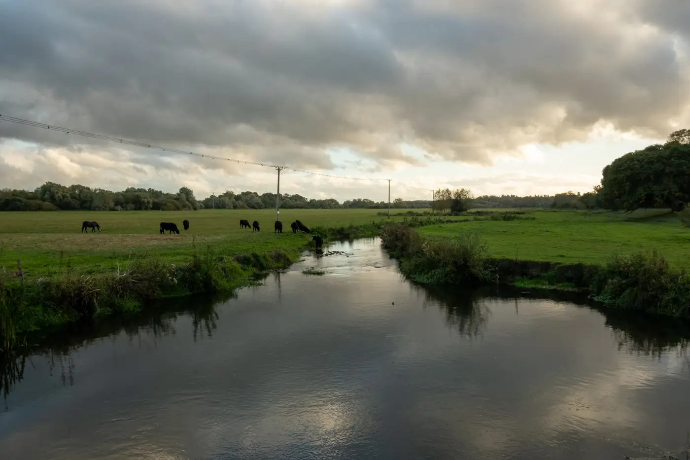 Field notes: the afternoon we agreed on ten examples and disagreed on the eleventhA GIS team labels cattle access points along a creek corridor and hits a wall at example eleven. What the disagreement taught them about defining a class.
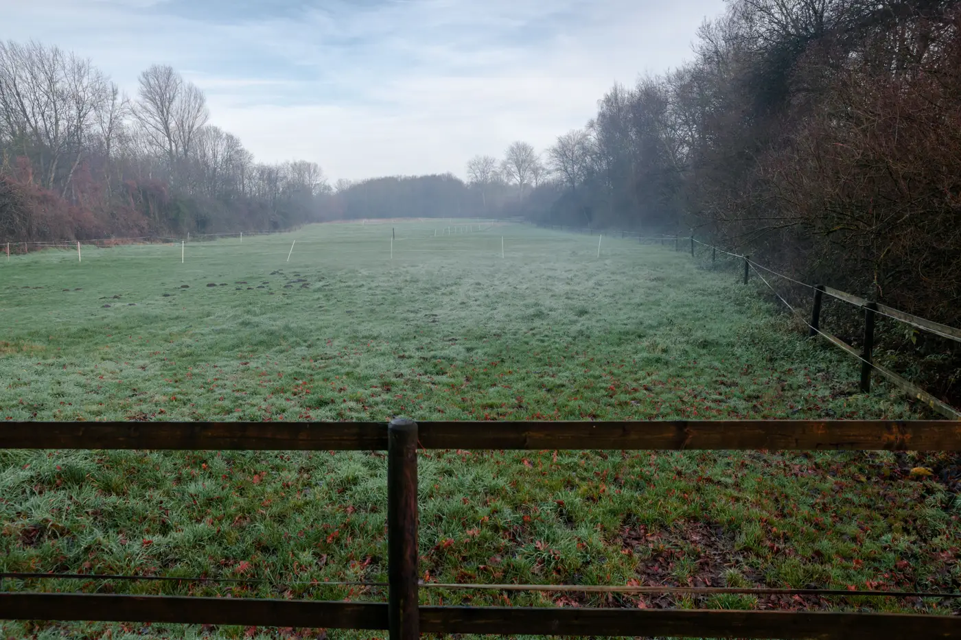 What GSD do you need to spot a badger sett entrance from satellite imagery?A straight answer on ground sample distance for badger sett detection, and why the entrance hole was never the real target anyway.
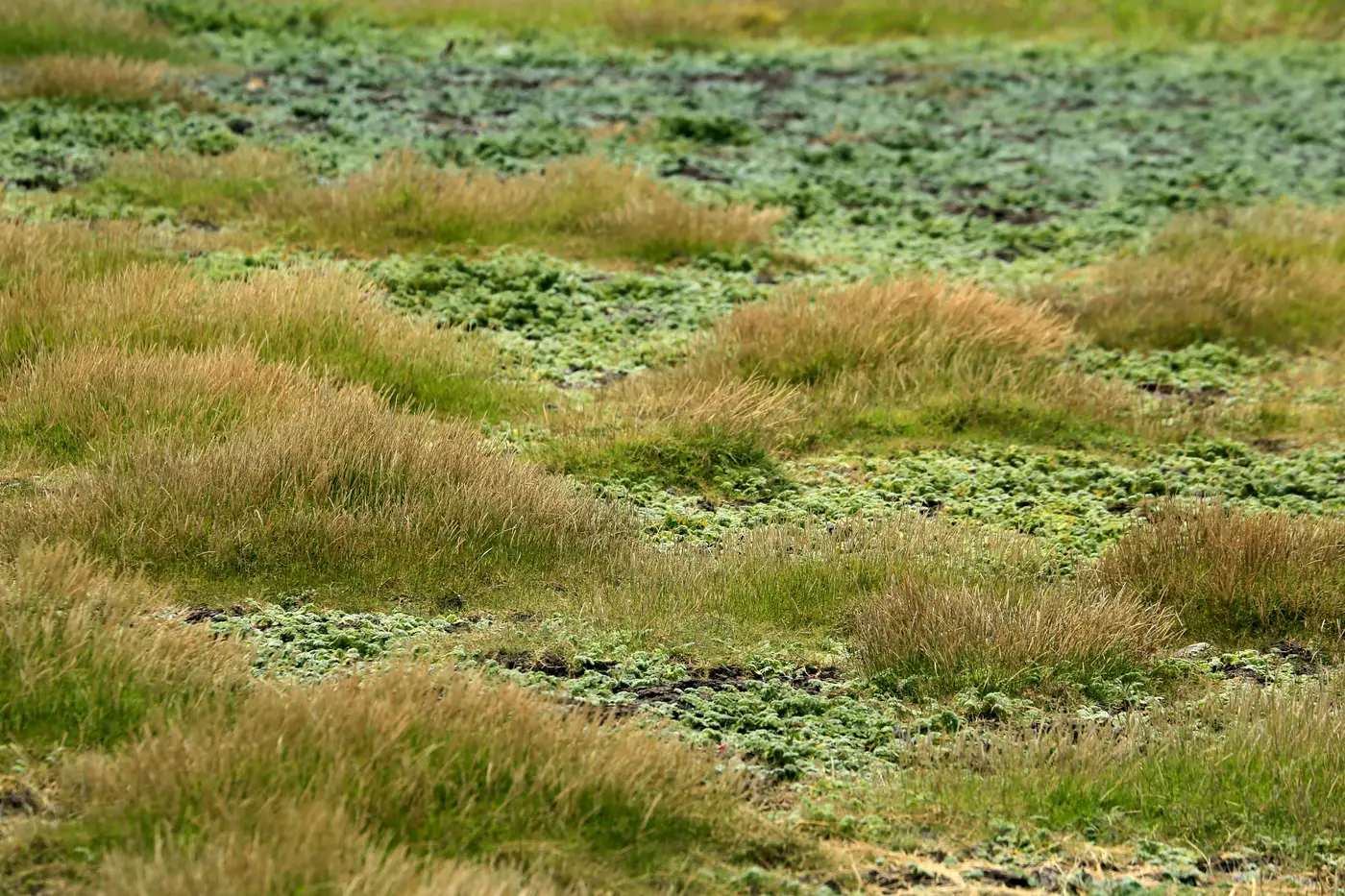 Phase 1 habitat survey vs satellite-derived habitat mapping: what each one catchesWhat a walked Phase 1 survey picks up that imagery never will, and where satellite-derived habitat mapping fills the gaps a site visit can't reach.
- Target notes vs mapped features in a Phase 1 habitat surveyWhat a target note is in a Phase 1 habitat survey, how it differs from a mapped habitat feature, and why that gap matters for your GIS layers.
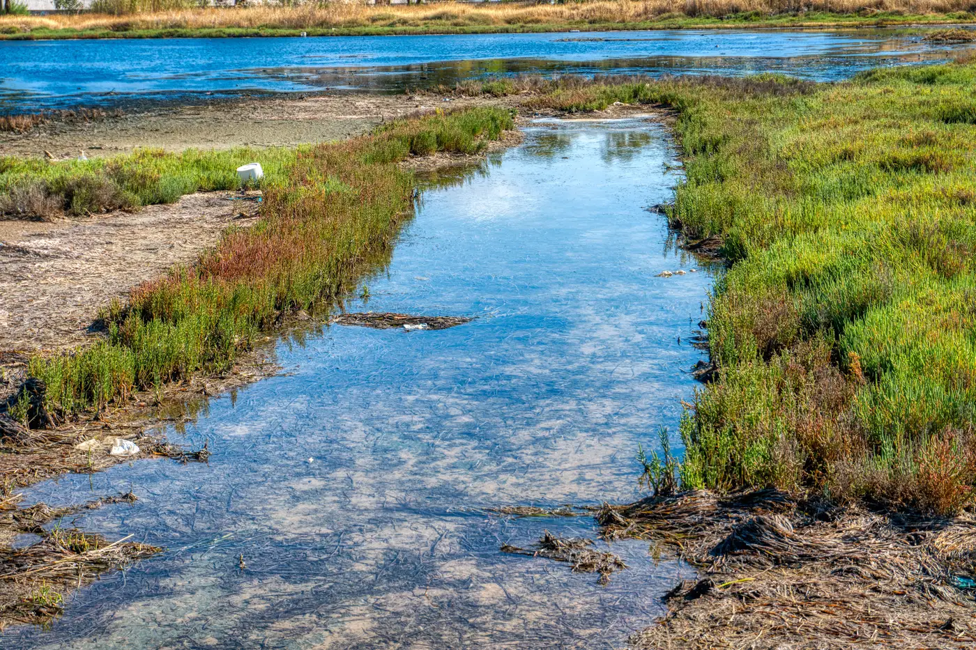 Field notes: the feature class that wasn't in anyone's catalogueA trade note on the one-off features that never make it into a land cover schema, and why hand-digitizing them has been the only option until now.
 What is label leakage, and why it wrecks a small training setLabel leakage quietly inflates accuracy on a small labelled set. Here's what it looks like in imagery work and how to keep a few-shot classifier honest.
 Validating a satellite-derived feature layer against field survey pointsHow to set up ground-truth validation for a satellite-derived feature layer when no standard accuracy benchmark exists for the class.
 What is ground truthing, and why does a custom classifier still need it?Ground truthing explained for GIS leads: what field verification checks, and why a custom feature class needs it even without a full project.
 Field notes: the class the archive classifier didn't carryA GIS lead's field note on hitting a feature class, beaver dams, that no off-the-shelf land-cover classifier carries, and what to do about it.
- How to label training examples for a one-off imagery classifierA practical guide to picking and labeling training examples when you need a custom map layer for a feature class no off-the-shelf classifier covers.
- Mapping hedgerow gaps from satellite imagery for a BNG baselineA practical look at using satellite imagery to flag hedgerow gaps before a BNG baseline survey, and where that method runs out of road.
- How to spot Japanese knotweed stands in satellite imageryWhat knotweed looks like in high-res satellite imagery, where desk study ID breaks down, and how to get it into a PCA report properly.
- How many labelled examples does a custom feature class need?How many labelled examples a custom feature class actually needs before a classifier generalizes, and what drives that count up or down.
- How to brief a one-off imagery mapping job for an EIAA practical guide to briefing a one-off custom feature class for an EIA imagery deliverable, from AOI to example labelling.
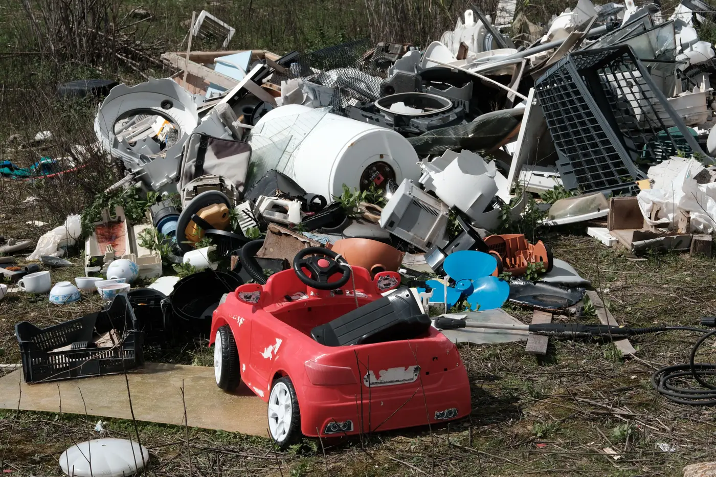 How to detect illegal dumping sites using satellite imageryA field guide for GIS teams on spotting fly-tipping and illegal dump sites in high-res satellite imagery, and why no off-the-shelf classifier catches them.
- Mapping farm ponds from satellite imagery for a water rights inventoryHow GIS teams count farm ponds and stock ponds from satellite imagery for basin-wide water rights inventories, and where off-the-shelf classifiers fall short.
- Shapefile vs feature class: what actually changes when you switchA field-level breakdown of shapefile vs feature class geodatabase differences, and when the switch is worth it for environmental GIS work.
- What is a feature class in GIS? A working definitionA feature class is a geodatabase table of same-geometry features sharing one schema. Here's how that differs from a layer, and where the definition runs out.