Label a few. Map the rest.
A foundation model learns your custom feature class from a handful of examples you mark, then finds the matching instances across your area. Early access.
- GSD
- 0.5–2 m
- Cadence
- project driven
- Platform
- high-res satellite
- Spectral
- multispectral
When the client wants a layer nobody sells
The client wants every instance of one thing in the district. It might be old borrow pits, informal kiln sites, small earth dams or a single invasive shrub. It is not in the land cover products you use, and no classifier you have run was trained on it. So the job lands with your GIS team as a digitising task.
Someone tiles the area, pans across the imagery and draws each instance by hand, and the definition drifts as the hours add up. Was a half-filled pit a pit? Did the two analysts agree on the small ones? The hours were never in the fee. The other route is a bespoke mapping project with a specialist subcontractor, which means a scope, a quote and a procurement round before anyone can tell you whether the class shows up in the imagery at all.
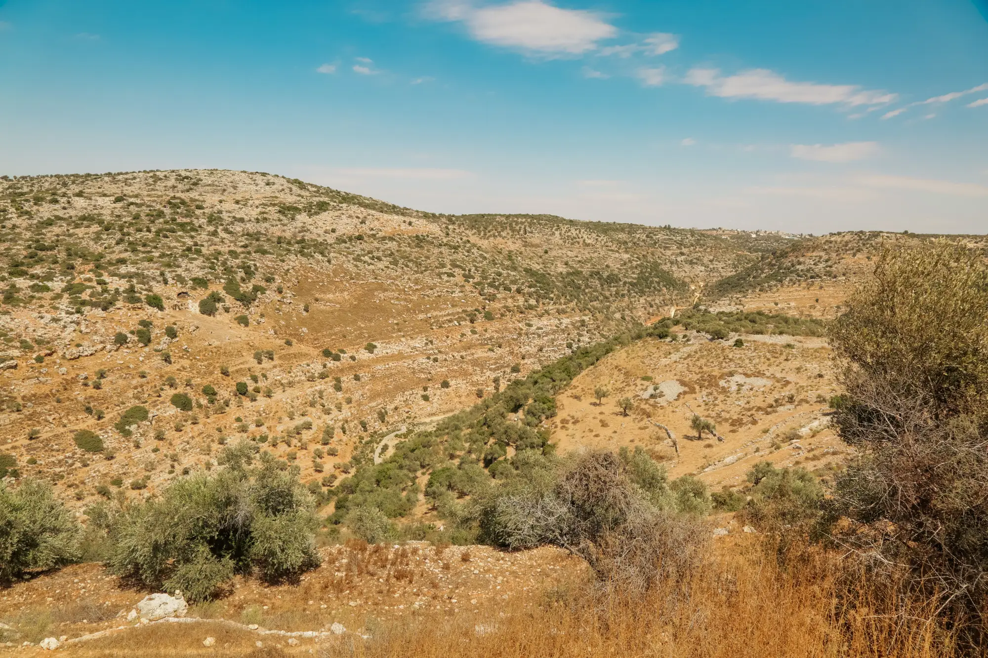
Neither route helps at the point where you have to price the bid. You need to know if the class is mappable and roughly what it costs in effort before you commit, and you find out after.
That is the gap this early-access workflow is for. You mark a few examples, it searches the rest of the area, and you review a layer instead of drawing one.
What comes back
- 2.1
Match layer
GeoPackage or shapefile
Every instance the model found across your area of interest, one feature per match, for you to review, edit and load into the geodatabase the project already uses. Delivered once per project.
- 2.2
Your label set
Same format as the match layer
The examples you marked, returned as you supplied them, so you keep them.
- 2.3
Scope note
Short PDF
A page on what your class definition covered, what the search treated as a match, and where the class was hard to separate from its surroundings. It is written so you can paste it into the method statement of your own report.
How it works
- 1
Describe the class and send the area
Tell us what the class is in the words of your scope of work, and send the area of interest as a boundary file.
- 2
Label a handful of examples
You mark some instances in high-resolution imagery of the area. Pick clear ones, and include the variants you would count as a match.
- 3
The model searches the area
A foundation model takes your examples and looks for places that resemble them across the whole area.
- 4
Review the layer
You get back a layer of every match. Your team reviews it and keeps what it would put its name to. Someone on our side scopes the project with you by hand at this stage of early access.
Where it fits
- One-off client layers. A class no shipped classifier covers, wanted once for one project, where a bespoke model is out of proportion.
- Scoping before a bid. A quick test of whether a custom class shows up in the imagery at all, before you commit analyst time or a subcontractor.
- Hand-off into your own pipeline. A layer you load into your own geodatabase and QA process. Your team still signs it off.
Limits
These are the ways a few-shot layer can mislead you. The scope note repeats them for your area.
05.1 Some classes will not separate
How well the model generalises from a few examples depends on how visually distinct and consistent the class is. A class that looks like its surroundings, or looks different every time, may not separate reliably. We will tell you when that is the case rather than hand over a layer that pretends otherwise.
05.2 0.5–2 m sets the floor
The class has to be visible at that pixel size. A feature a pixel or two across is unlikely to be told apart from its neighbours.
05.3 Clouds and dates
The imagery is the best cloud-free pass available for your area. It shows the ground on that pass, not on today's date, and a class that changes with the season may look different from your examples.
05.4 One class per project
This learns the class you give it. It is not a catalogue of pre-trained classes, and it does not sweep an area for whatever it finds.
05.5 Early access
Expect rough edges and hands-on scoping. There is no self-serve tool yet.
Who it's for
- GIS leads at environmental consultancies who need one custom layer for one client project.
- Teams that would otherwise digitise by hand or scope a bespoke mapping project, and want to know first whether the class is mappable.
- Analysts who will review and edit the layer before it goes into a deliverable.
Who it's not for
- Teams looking for a tool that finds anything in any image, or a menu of ready-made classes.
- Layers that must ship unreviewed. Every match layer needs a reviewer.
- Features too small for the imagery to resolve.
- Projects that need a promised match rate before starting.
Questions from the GIS lead
Does it find any object I name?
No. It learns one custom class from your examples. It does not carry a catalogue of pre-trained classes.
How many examples do I need to label?
A handful. How many is enough depends on the class, and we settle it with you when the project is scoped.
Will it work for my class?
Not always. If the class is visually distinct and looks much the same from one instance to the next, a few examples can be enough. If it is not, the class may not separate from its surroundings, and we say so.
Is this a finished product?
No. It is early access with hands-on scoping, so expect rough edges.
What resolution does it need?
High-resolution imagery, 0.5–2 m GSD, and the class has to be visible at that scale.
How do we check the layer against our own ground truth?
Compare it with field records, a known inventory or a sample you digitise yourself. Tell us where your ground truth is when the project is scoped.
Can we load it into our own GIS?
The match layer comes in a format that opens in ArcGIS Pro or QGIS, so it can go into your existing geodatabase and QA workflow.
Who owns the layer and the imagery rights?
Use terms for the delivered layer are written into the contract before work starts. The imagery archive the layer is built from keeps its own licence.
How is it priced?
Each project is scoped and quoted on its own, from the size of the area and the class. You get a written scope you can take through your own procurement.
Describe your class and your area, and we can talk about whether it is worth trying.
Request early accessOr .