Mapping farm ponds from satellite imagery for a water rights inventory
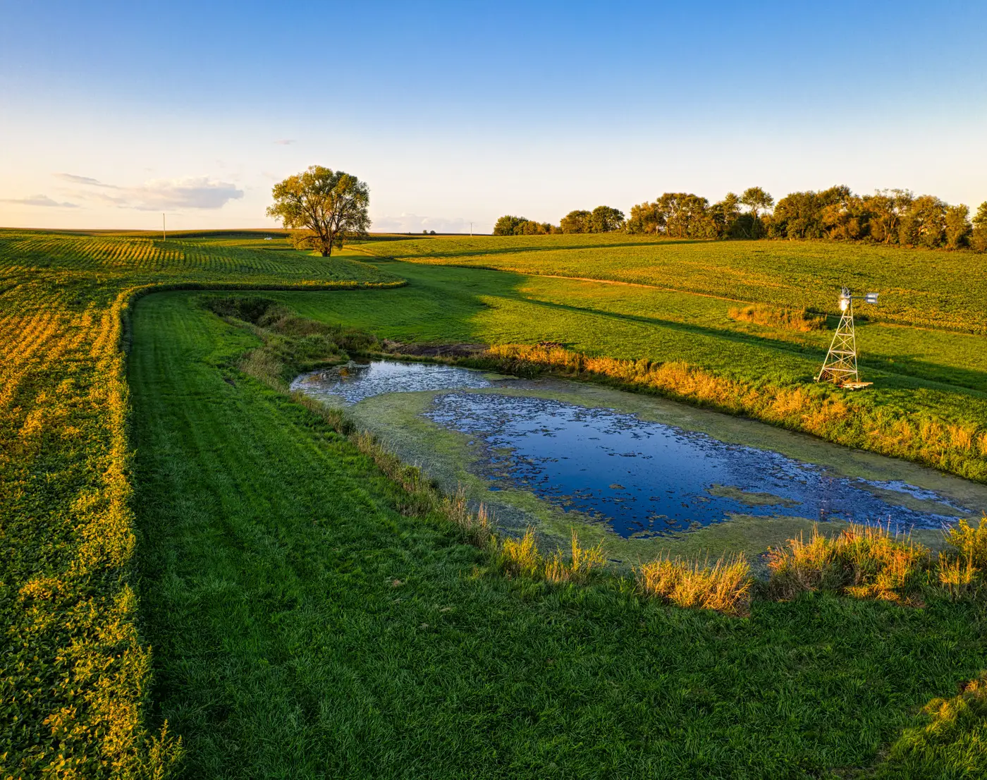
A basin-wide water rights inventory almost always turns up the same problem: nobody has a clean count of the small impoundments. The state engineer's office has records for permitted diversions and adjudicated rights, but the stock ponds and farm ponds built under exempt-use thresholds, the ones a rancher dug fifty years ago and never filed paperwork on, don't show up in any dataset. If the inventory needs to reconcile what's on paper against what's actually holding water on the ground, somebody has to go count ponds.
Satellite imagery is the obvious way to do that at basin scale. Walking or driving every allotment to log pond locations isn't realistic once you're covering a few hundred square miles of rangeland, and water rights adjudications routinely cover exactly that. The question is what gets you from imagery to a usable pond layer, and that's where most GIS leads run into the gap between what's available off the shelf and what the inventory needs.
Why land cover classifiers don't give you a pond count
Open-source land cover products and most commercial classifiers have a "water" class, sometimes split into open water and wetland. That's fine for a watershed delineation or a wetlands screen, but it's not a pond inventory. That class doesn't distinguish a stock pond from a flooded borrow pit, a stormwater detention basin, or a bend in an intermittent creek holding runoff this week because of a storm event. For a water rights inventory, the distinction matters: you need impoundments that are clearly constructed, roughly circular or dam-shaped, sized consistent with livestock or small irrigation use, and sitting where you'd expect a diversion or an exempt well to feed them. None of that is a class any general-purpose model ships with, because it's specific to how your basin's rights framework defines a stock pond.
That leaves photointerpretation: someone on the team opens high-res imagery tile by tile and digitizes every pond by hand. It works, and it's the default most consultancies fall back on, but it scales linearly with acreage. Double the basin and you double the digitizing hours.
What a custom pond layer requires
Three things make a workable farm pond layer: imagery fine enough to resolve a pond that might only be a few dozen meters across, a definition of "pond" tight enough to exclude the lookalikes in your basin, and a way to apply that definition consistently across the whole AOI without re-deriving judgment calls on every tile. High-res satellite imagery at roughly 0.5 to 2 m GSD, multispectral, gets you the resolution. The definition and the consistency are the harder parts, and they're specific to your project. A basin with a lot of farm ponds dug into draws will have different lookalikes than one with scattered stock tanks on flat rangeland.
This is the part that's hard to buy off the shelf, because "pond" means something slightly different in every adjudication. Few-shot mapping is built around exactly this gap: you label a handful of ponds in your own imagery, the kind you'd already be circling by hand, and that becomes the definition the model applies across the rest of your AOI. No generic water class standing in for what your inventory needs to count.
Where this fits in the inventory workflow
A pond layer built this way slots in before the title search and well-record reconciliation, not instead of it. GIS output gives the team a candidate list of impoundment locations and rough footprints to check against existing water right filings, exempt-use records, and parcel ownership. Ponds that match no filing go on the list for field verification or further research. It's a way to generate that candidate list from imagery instead of from a drive-by survey of every allotment in the basin.
If a custom pond or impoundment class is what's slowing down your next inventory, that's the use case this is built for. Worth a look before the next basin gets scoped.