How to brief a one-off imagery mapping job for an EIA
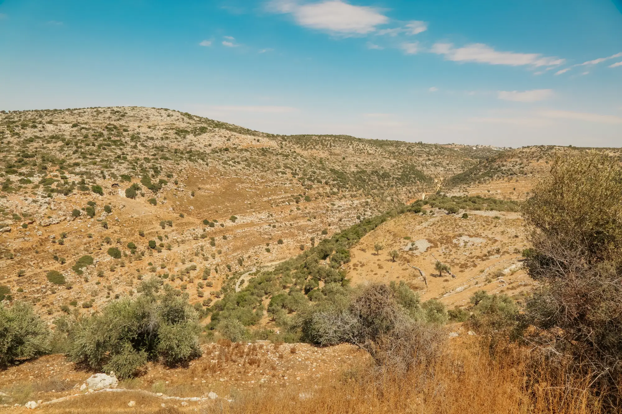
Most EIA imagery briefs fall apart in the same place: the AOI is tight, the GSD is specified, the delivery date is pinned down, but the actual thing you want counted or outlined never makes it into words a vendor can act on. "Map the invasive scrub" or "flag the drainage features" reads fine in a scoping note. It means nothing to someone who has never walked your site and is working from a tasking order.
A one-off job for an environmental statement asks a vendor to build, or train, recognition for a feature your project defines: a particular invasive species stand, a type of temporary soil stockpile, informal access tracks that aren't on any OS layer, or drainage channels your ecologist has flagged for ground-truthing. The brief has to carry that definition, because nobody on the other end has seen your site.
What the imagery vendor needs from you
Strip it back to what changes the outcome:
The area of interest, as a shapefile or KML, not a scribbled extent on a screenshot. Include a buffer if your survey boundary might move once the ecologist's walkover findings come in.
The resolution you need to resolve the feature at, not just "high-res." If you need to separate bare ground from short vegetation, 0.5 m behaves differently than 2 m. Say which one your deliverable depends on.
A tight description of the feature class, written the way you'd write it into a classification schema: what counts as an instance, what the edge cases are, and what it should not be confused with. If you want "informal vehicle tracks" mapped, say whether a single tyre rut counts or whether you need a repeated, visible path.
A handful of labelled examples from your own site, not a generic reference photo pulled off the internet. Three to five clear instances, with the ambiguous ones included rather than cherry-picked, do more for accuracy than a paragraph of description ever will.
The output format your GIS team actually uses. If the deliverable needs to drop straight into a project geodatabase with an agreed attribute schema, say so before the work starts. A loose shapefile with the wrong field names means another round of rework once someone finally opens it.
Where a one-off layer earns its keep
A full bespoke mapping project makes sense when a feature is going to recur across multiple sites and multiple years, something worth a proper training pipeline and a maintained classifier. Most EIA work is a single consent decision, a single environmental statement, a feature class that exists because this particular site has this particular problem. Standing up a dedicated classifier for a layer you'll use once and never need again doesn't make sense for the budget or the timeline, and a desk-based manual digitising exercise over a large site eats the hours your survey window doesn't have.
That gap, between an off-the-shelf classifier that doesn't recognise your feature and a full custom project that costs more than the survey itself, is what a foundation-model workflow trained on a few labelled examples is built to close. You still do the work of defining the feature and pulling together good examples. The run against your high-res imagery and the return of a complete layer is what gets handed off.
If you're scoping this kind of job, it's worth looking at how that workflow is framed for a single custom feature class before you write the brief, since it changes what you ask a vendor for and what you include as reference examples.
Write the brief like you're handing it to a new team member who has never set foot on the site, because for a one-off imagery job, that's exactly who's going to read it.
Few-Shot Mapping is taking early access requests for consultancies with a custom feature class to map against their own imagery.