Phase 1 habitat survey vs satellite-derived habitat mapping: what each one catches
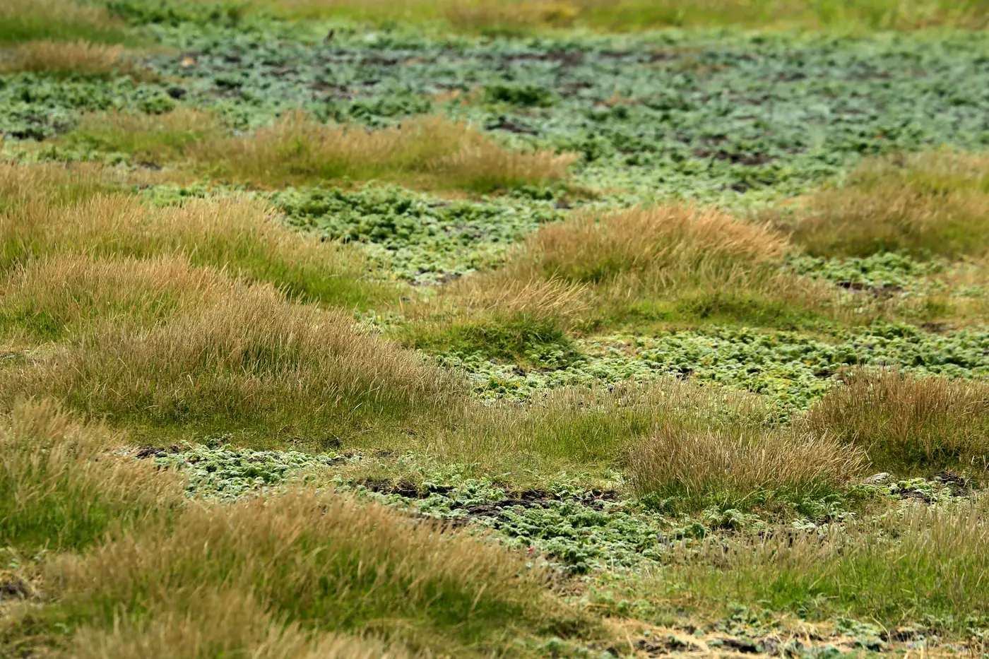
A Phase 1 habitat survey and a satellite-derived habitat layer answer different questions, and conflating them is how scopes go wrong. One tells you what's actually growing on the ground and in what condition. The other tells you what's there across an area nobody walked, on a date you choose, at a scale a field team can't cover in a two-week window.
What a walked Phase 1 survey catches that imagery can't
JNCC Phase 1 methodology exists because habitat identification depends on things a sensor doesn't see from above. Sward composition, indicator species, soil wetness underfoot, the difference between semi-improved and unimproved neutral grassland. All of that comes from someone standing in the parcel with a hand lens and a target note sheet, not from a pixel's spectral signature.
Condition assessment is the other piece satellite imagery structurally can't deliver. A hedgerow can look identical from above whether it's gappy and overgrown or dense and well-laid. Canopy cover reads as "woodland" regardless of what's happening in the understory, and understory composition is exactly what an extended Phase 1 or NVC survey is there to record. If the brief calls for habitat condition, favourable/unfavourable status, or anything feeding into a biodiversity net gain baseline, that's a walkover job. No imagery product substitutes for it.
Survey timing and access are the practical limitations that show up on every project, not just the technical ones. The optimal survey season runs roughly April to September, and a site with restricted access, or land in multiple ownership with some parcels you can't get permission to enter, leaves gaps in the walked map that someone has to account for in the report. That's usually where desk-based habitat mapping gets pulled in, and it's worth being honest about what it was ever good for.
Where desk-based mapping and imagery earn their place
Desk-based habitat mapping, the aerial photo interpretation done before a site visit using OS MasterMap and whatever imagery is on hand, has always been a scoping tool rather than a survey substitute. It tells the team roughly what habitats to expect and where to focus walking time. Used as anything more than that, it produces a Phase 1 map with boundaries drawn from photo interpretation that nobody ground-truthed, which is a liability in a report an LPA or NE is going to scrutinise.
The honest use case for imagery is supplementing a walked survey, not replacing it. Three situations come up repeatedly:
Extending a habitat boundary onto land adjacent to the survey area, where the walked polygon stops at a fence line but the habitat obviously continues and a desk-based extent helps frame the wider context without claiming it was surveyed. Covering the inaccessible parcels on a large or multi-ownership site, where imagery gives a defensible extent map for the bits nobody could walk this season, clearly flagged as such in the report. And picking up change since the last survey date, since a Phase 1 map from three years ago doesn't account for scrub encroachment or a habitat loss that's happened since, and current imagery will show it before anyone schedules a re-walk.
None of that replaces the walkover. It fills in the extent of habitats the walked survey either couldn't reach or doesn't need to re-tread, which is a narrower and more defensible job than "mapping habitats from satellite" as a phrase tends to suggest.
Where this gets genuinely useful is when the habitat or feature you're trying to extend across a site doesn't fit any standard Phase 1 category at all, something like scattered invasive stands, a specific structural feature, or a boundary type the project needs flagged everywhere it occurs but that no off-the-shelf classifier recognises. That's a narrower problem than habitat classification generally, and it's the gap Few-Shot Mapping is built to close: you label a handful of examples from your walked survey and get the rest of the site mapped against them.
If you've got a feature class like that sitting outside standard Phase 1 categories, it's worth seeing what a few labelled examples can do for the rest of your site.