How to spot Japanese knotweed stands in satellite imagery
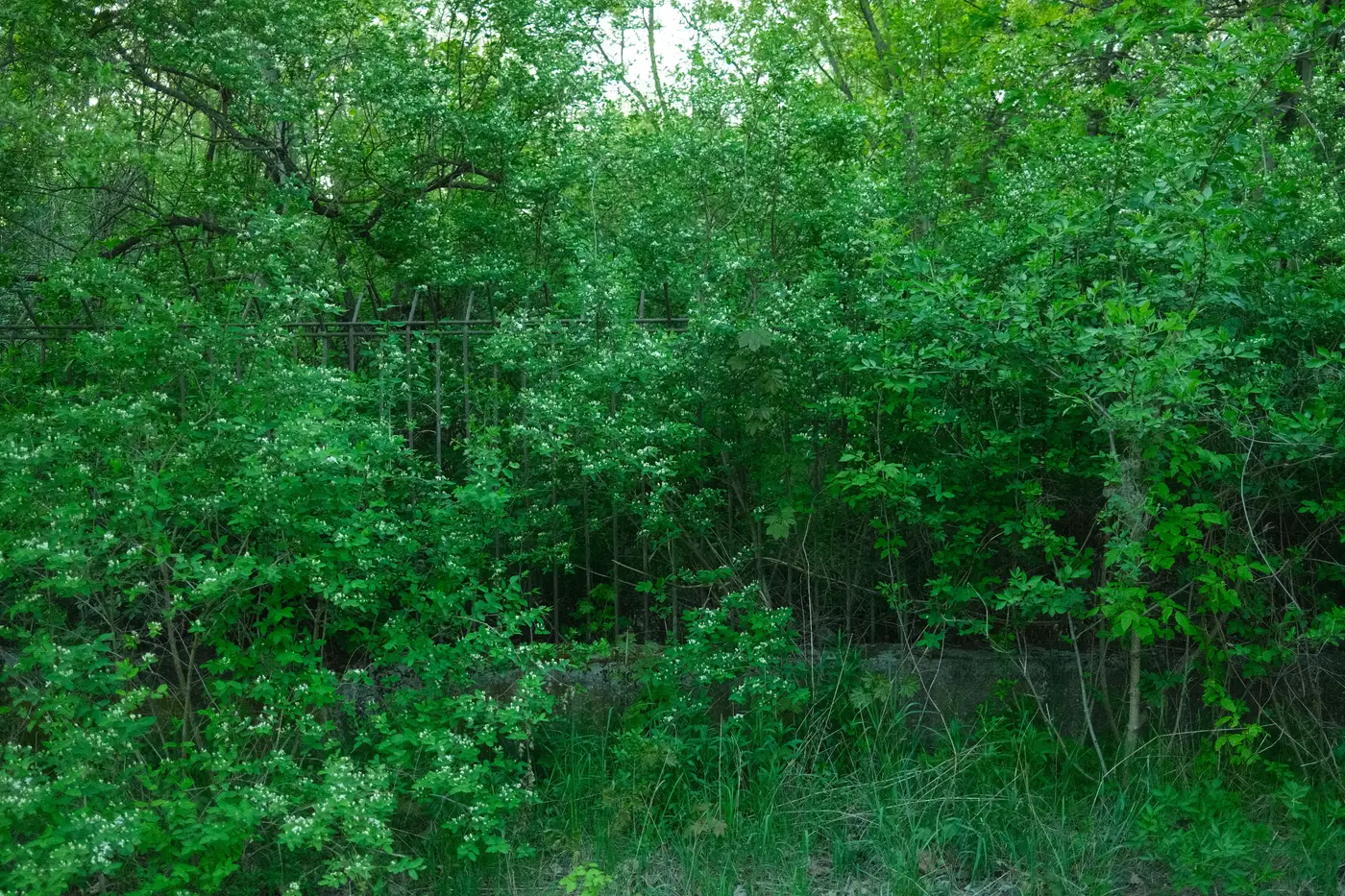
Every PCA desk study eventually asks the same question: can you flag knotweed from imagery before anyone sets foot on site. Sometimes, and only under fairly specific conditions.
What a knotweed stand actually looks like from above
Japanese knotweed reads as a dense, uniform, slightly glossy green canopy with a coarse, almost bubbled texture, different from the finer grain of bramble or nettle beds nearby. In summer, mature stands often show a faint reddish tinge at the stem bases where canopy gaps let it through. The shape is the real tell though: knotweed spreads as a solid mat that follows disturbance corridors rather than natural drainage lines, so you'll see it tracking a fence line, hugging the toe of an embankment, or filling the exact footprint of an old yard. A stand that looks like it was poured into the shape of the site boundary is a better clue than the colour ever is.
At 0.5-2 m GSD you can usually resolve a stand once it's past a few square metres and sitting on bare ground or short grass. What you can't resolve reliably is a juvenile patch under hedgerow shade, knotweed growing through bracken or buddleia, or anything along a river corridor where willow and alder canopy close over by June. Riverbank and railway embankment stands, two of the settings that come up constantly in PCA work, are exactly where canopy cover defeats the method. Timing matters as much as resolution: imagery from April leaf flush or October senescence shows knotweed's die-back colour shift far better than a cloudless July scene where everything reads as generic green.
Where imagery-based ID fits in the survey, and where it doesn't
None of this replaces a walkover. What satellite-based screening is good for is triage: running a desk study across a large site, a pipeline corridor, or a multi-parcel acquisition and getting a shortlist of candidate stands before the surveyor is on the ground. That shortlist tells a project ecologist where to point the tape measure and the NERC-licensed surveyor where to focus a Phase 2 if one's needed, rather than walking the full boundary blind. For a PCA report, that candidate layer gets logged as a desk study finding and ground-truthed, never submitted as confirmed presence on its own. Off-the-shelf land cover classifiers don't carry a knotweed class at all, so anyone wanting this has generally relied on an analyst eyeballing imagery tile by tile, which is slow and doesn't scale past one or two sites a month.
That gap, a feature class no stock classifier recognises, is the specific case we built Few-Shot Mapping around: you label a handful of confirmed stands from your own site photos or prior survey points, and the model learns to flag visual matches across the rest of your high-res imagery.
Does satellite imagery replace a Phase 1 invasive species survey? No. It narrows where a surveyor looks first; confirmation still needs eyes and often a rhizome check on the ground.
What resolution do you need to see a knotweed stand? Sub-2 m is workable for open, mature stands. Anything under canopy or smaller than a few square metres won't show reliably at any satellite resolution.
Can one classifier be trained to recognise knotweed everywhere? Not practically. Stand appearance shifts with substrate, season, and local vegetation mix, which is why the few-shot approach, built from your own labelled examples per site, outperforms a generic one.
If you've got a site where knotweed keeps turning up as a desk study question mark, send us a few labelled instances and let's see what the imagery shows.