Field notes: the afternoon we agreed on ten examples and disagreed on the eleventh
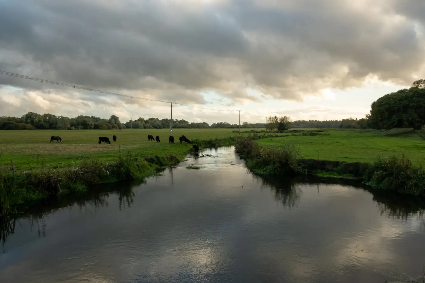
We were three slices of pizza into a Tuesday afternoon, trying to mark up cattle access points along six miles of creek corridor for a riparian grazing assessment. The client wanted a layer: every spot where livestock had worn a path down to water and chewed up the bank. Nothing fancy. Just a dot, or a small polygon, wherever a cow had made its own ramp.
The first ten were easy. Bare mud fanning out from the waterline, no vegetation, a trampled apron maybe eight to fifteen feet wide, usually with a darker compacted track leading back up toward a fence gap or a trough. We'd pull up the imagery, zoom in, click, confirm, move to the next one. Ten minutes, ten clean examples, everybody nodding.
Then came site eleven, a bend about four miles downstream where the bank flattened into a gravel point bar. Same bare dirt, same lack of vegetation, same rough shape. Mara called it a crossing. Dev called it a gravel bar doing what gravel bars do during spring high water, getting scoured clean and then sitting bare until the next flood deposits something new on top. There was no fence line nearby and no trough, nothing that said "livestock" except that from directly overhead it looked almost exactly like the other ten.
We argued about it longer than we'd spent on the previous ten combined, because the real argument wasn't about one polygon's stakes. It was about what the class was. Were we mapping "bare ground near water," which gravel bars also produce, or were we mapping "livestock-caused disturbance," which needs some corroborating signal, a fence, a trail, a trough, something that rules out hydrology as the cause? We'd been labeling for twenty minutes and only now had to say out loud what we meant.
That's the part nobody warns you about when a client hands you a feature class that doesn't exist in any standard classifier: drawing the box forces a definition you didn't know you hadn't settled on. Ten clean examples let a team coast on shared assumptions. The eleventh is usually the one that breaks the tie, because it's the first case where the assumptions actually diverge.
We ended up tossing site eleven and going back to the bank with a second criterion: include it as positive only if there's a visible approach feature, worn vegetation corridor, fence gap, or trail segment, within about thirty feet of the bare patch. Gravel bars with no landward trail got excluded. It took maybe five more minutes to write that rule down, and it changed how we'd have scored at least two of the "easy" ten if we'd applied it retroactively.
I've come to think that argument is the actual product of a labeling session, more than the polygons themselves. The polygons are just the record of the argument having happened. A handful of agreed examples, run against the rest of the corridor, is only as good as the disagreement that sharpened them. If nobody fights about the eleventh one, the sample probably wasn't diverse enough to need fighting over, and the resulting layer will be mushy on exactly the cases that matter to the client.
This is more or less the pitch behind FlyPix's few-shot approach, which starts from that same small, argued-over set rather than a pre-built classifier: you hand over the handful of examples your team agreed on, including the ones you had to fight for, and it runs that definition against the rest of your high-res imagery. We're on the waitlist ourselves, mostly curious whether a model trained on our mud-apron-plus-trail rule handles the next gravel bar as well as Dev did.
If you've got a feature class like this one, something real but not in anyone's off-the-shelf taxonomy, take a look at what a few-shot workflow can do with your own handful of examples.