How many labelled examples does a custom feature class need?
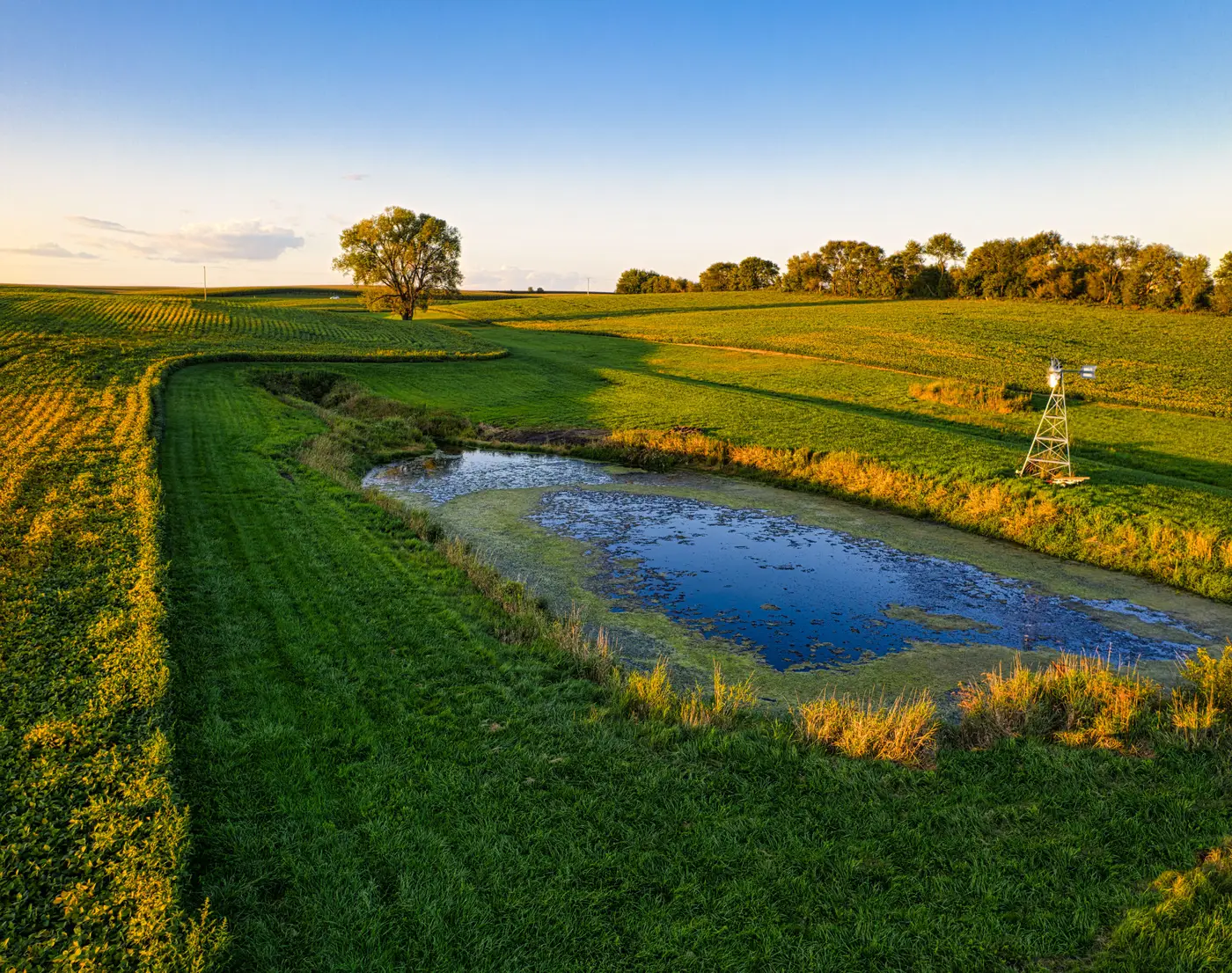
Before you open a digitizing session for a feature class that doesn't exist in any out-of-the-box classifier, you want a number. Fifty examples? Two hundred? A thousand? Anyone who gives you a flat answer without seeing your imagery and your target feature first is guessing, and it's worth knowing why before you commit a week of staff time to labelling.
There's no fixed threshold, and that's not a dodge
A custom feature class is whatever your project needs mapped: illegal fill piles along a floodplain, a specific invasive shrub, culvert headwalls, frac ponds, informal access tracks cutting through a lease boundary. None of these behave the same way in imagery, so none of them need the same number of labelled instances before a model starts picking them out reliably.
The count depends mostly on how visually consistent the feature is against everything else in the scene. A culvert headwall against grey riprap is a fairly uniform target: consistent shape, consistent shadow, consistent context. An invasive shrub that changes color through senescence, grows in both dense stands and scattered individuals, and sits against three different background land covers across your AOI is a harder target, and it will usually need more labelled instances to cover that range before the model generalizes past your training set.
Image quality matters too. At 0.5 m GSD a small feature holds enough pixels to show real texture and shape. Push that same feature to 2 m and some of what made it distinguishable just isn't resolved anymore, which means the labelled examples you do provide need to carry more weight per instance.
What changes the labelling count
A few things push the number up, each one adding a kind of variation the model has to learn to see past:
- Background variety. The same feature sitting on bare soil, in dense vegetation, and adjacent to water are functionally three different labelling problems, even if a field ecologist would call them the same thing on sight.
- Scale and orientation range. A feature that only ever appears at roughly the same size and aspect needs fewer examples than one that shows up as a two-meter patch in one corner of the AOI and a forty-meter patch in another.
- Edge cases and look-alikes. If there's a feature in your imagery that looks similar but isn't the thing you're mapping, sunlit bare soil versus your fill pile, say, you'll want labelled examples of both so the model has something to discriminate against, not just positive instances in isolation.
- Imagery consistency across the project area. One date, one sensor, consistent sun angle keeps the labelling job simpler. Mosaic together imagery from different acquisitions and seasons and you're effectively training across more variation, which means more instances to represent it.
This is the same logic a project ecologist uses when deciding how many ground-truth plots are enough to characterize a vegetation community before writing it up.
Start with a small batch and look at what comes back wrong
The practical approach beats the theoretical one here. Label a handful of clear, representative instances of your feature class, not an exhaustive set, just enough to cover the obvious variation you can already see in the imagery. Run that against the imagery for a subset of your AOI. Then look at the output: what did it miss, and what did it falsely flag as the feature when it wasn't?
That QA pass tells you exactly where the gaps are. If it's missing instances in shadow, add labelled examples from shadowed areas. If it's flagging a look-alike, label a few instances of that look-alike as a negative case. This iterative labelling, a small first pass followed by targeted additions based on what the output gets wrong, usually gets you to a workable layer faster than trying to guess the "right" number up front and labelling everything in one long session.
This is the premise behind a few-shot mapping workflow built specifically for feature classes that no commercial classifier already covers: you provide a handful of labelled instances, it runs against your high-res imagery, and you get a layer back for the thing you need mapped, not the closest off-the-shelf approximation.
If you've got a feature class like this sitting on your desk right now, join the waitlist and tell us what you're trying to map.