Field notes: the class the archive classifier didn't carry
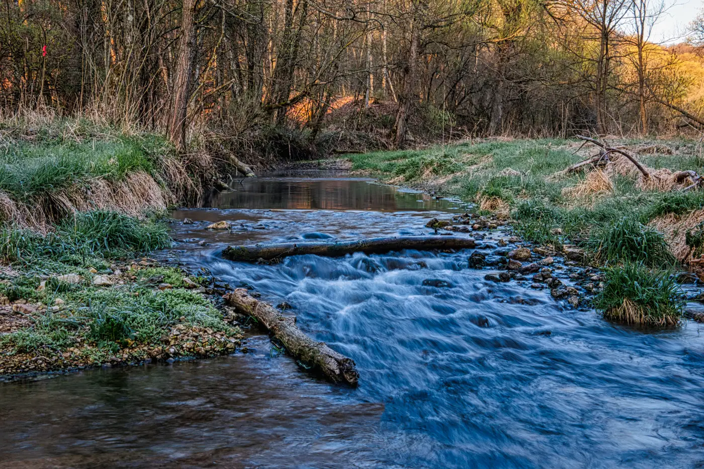
Every stream restoration scope eventually runs into the same wall. You pull the land-cover raster, you pull the hydro layer, you pull whatever classified imagery the client's last consultant left behind, and none of it has the one class you need counted.
For us it was beaver dams. A client wanted a watershed-scale inventory ahead of a culvert replacement program, because every dam upstream of a crossing changes the hydraulics the engineer has to design for, and nobody wanted to find that out during construction. Beaver activity had been noted anecdotally in field reports going back a decade, but nobody had ever put a point on each dam and tied it to a reach. The watershed ran about 40 stream-miles across three counties, more than anyone was going to walk in the time the scope allowed.
So you go looking for a shortcut. NLCD gives you woody wetland and emergent herbaceous wetland, which tells you where the beavers might be working but not where a dam actually sits. A wetlands inventory layer gives you polygons drawn from older imagery, already a few years stale in a system that reshapes itself every season. None of the commercial land-cover products carry "dam" as a class, because why would they. A dam is a structure, small and specific, and it matters to exactly the kind of project we do and almost nobody else. No general-purpose classifier was ever built to carry it.
This is the part of the job that doesn't show up in the proposal. One option is to send a crew to walk the reaches and flag dams by hand, accurate but slow and expensive per mile. Another is to screen-digitize them yourself off the best imagery you can get, squinting at tonal breaks in the channel and trying to tell a dam from a logjam from a gravel bar catching the light wrong. A third is to scope a custom classification project, which means someone has to assemble training data, pick a model, validate it, and justify that spend against a deliverable that's one layer in a larger report.
None of those options are wrong, exactly. They're just the tax you pay for working on things that are real and specific and don't fit the taxonomy somebody built for national land-cover mapping. The archive was never going to carry a beaver dam class, the same way it was never going to carry a frac pad, a check dam, a slash pile, or whatever the next project needs that isn't on anyone's standard legend. Those classifiers are trained for the broad strokes: forest, water, developed, agriculture. The categories that drive your scope of work live below that resolution, in the stuff a trained eye recognizes on sight but a general-purpose model was never shown.
What's changed enough to be worth a field note is that building a one-off classifier for a class like this no longer requires a full bespoke project with its own timeline and its own budget line. We've been testing a workflow built around this exact gap: you label a handful of dams yourself, the ones you'd point to without hesitation, and it learns the visual signature from those examples and runs it against high-res imagery for the rest of the watershed. This is early access, built for the project that needs one feature class mapped once rather than a classifier you'll reuse for years. You can see how the offer is scoped on the Few-Shot Mapping homepage if a project of yours has a class like this sitting in it.
Next time the land-cover raster comes up short, it's worth asking whether the missing class is worth a few labeled examples and a run against your imagery before anyone picks up a field notebook.