Mapping hedgerow gaps from satellite imagery for a BNG baseline
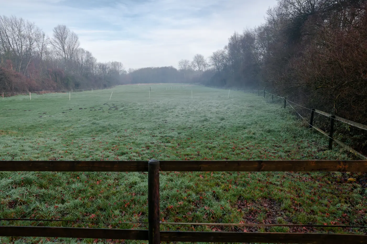
Anyone who has sat down to score a hedgerow for a biodiversity net gain baseline knows the condition sheet asks a question the imagery doesn't answer on its own: how continuous is this feature, and where does it break? Gaps matter. They affect the UKHab condition score, they affect connectivity to adjacent habitat parcels, and on a long boundary they're easy to miss if you're relying on a walked transect alone or on imagery that wasn't captured for this purpose.
The instinct is to pull up the best aerial or satellite layer you have access to and trace the hedge line in GIS, marking gaps as you go. That works, up to a point. It also runs into the same wall every ecologist who's tried it will recognise.
Why a generic land cover classifier won't flag a gap
Off-the-shelf imagery classification products are built around habitat classes: woodland, arable, grassland, built-up. A gap in a linear hedgerow feature sits outside that whole scheme. It's a structural discontinuity in a feature that's often only a few metres wide to begin with, not a land cover type, and a classifier trained to separate forest from field has no reason to resolve a two-metre break in a hedge line. Most won't.
That leaves you tracing manually, which is fine for a single site boundary and painful across a county-scale baseline with dozens of hedgerow parcels, or across a portfolio where the same QA has to be repeated for every scheme.
Resolution: what you actually need to see a gap
A gap worth flagging on a condition sheet is usually a few metres across, sometimes less where stock have pushed through or a section has died back. At 0.5–2 m ground sample distance, high-res satellite imagery can resolve that. Below that, you're guessing at shadows and hoping the hedge isn't just thin that season rather than genuinely broken. Multispectral bands help separate live woody growth from bare ground or scrub colonisation in the gap itself, which a true-colour image alone won't always do cleanly, especially in winter when deciduous hedges are leafless and a gap can look like just another bare stretch.
None of this replaces a walked condition survey. What it does is tell you, before you send someone out with a clipboard, roughly how many gaps there are and roughly where, so the field day is spent confirming and scoring rather than searching a two-kilometre boundary metre by metre.
A workflow that scales past one site
The approach that holds up across a baseline with more than a handful of hedgerow parcels looks like this: define what you mean by "gap" with a handful of labelled examples from your own imagery, run that definition against the full site extent, get back every matching instance as a layer you can QA and hand to the field team. The labelling step matters more than it sounds. A gap in a mature mixed hedge looks different from a gap in a young planted line, and the definition that works for one consultancy's typical sites won't necessarily transfer to another's without a few examples to anchor it.
This is the gap, so to speak, that Few-Shot Mapping is built around: a custom feature class that doesn't exist in any standard classifier, mapped from a handful of examples you provide rather than a bespoke project scoped from scratch. You label what a gap looks like in your imagery, it runs against the high-res scene for your area, and you get a layer back of every matching instance across the site.
For a BNG baseline where hedgerow condition scoring is one line item among many, that's a way to get the boundary-level picture sorted before the field team's time gets spent on it. If that's the kind of one-off layer you need for a current baseline, it's worth putting in a request to see what Few-Shot Mapping can do with your site imagery.