Field notes: the feature class that wasn't in anyone's catalogue
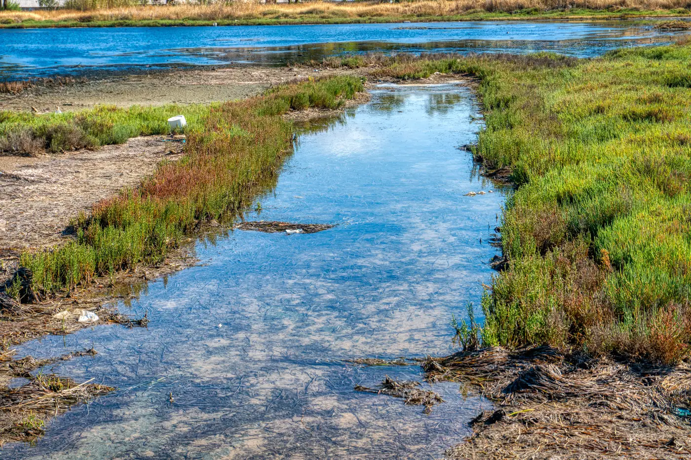
Every consultancy has one of these on a shelf somewhere: a client ask that doesn't fit the land cover schema you already have running. A stormwater group needs every unlined farm pond in a watershed flagged for a biosecurity review. A wetlands team needs every berm of a specific profile along a tidal creek, something between "wetland" and "open water" that has no NLCD code and never will. A pipeline client wants every informal access track cut across a right-of-way in the last two seasons, picked out from the permitted ones.
None of these are in a stock classifier, and they were never going to be. The categories that ship with a commercial land cover product get built for problems that recur across thousands of clients: impervious surface, tree canopy, crop type, built-up area. A feature that matters to one project, for one client, in one basin, doesn't earn a place in anyone's training pipeline, however common it actually is on the ground. Unlined ponds aren't rare. Labeling them at scale just never made the priority list for whoever built the classifier sitting on your server.
So the fallback is always the same. Someone opens a dozen image tiles and starts digitizing by eye. If the budget allows, that's a contractor with a Wacom tablet working through a county's worth of imagery one polygon at a time. If it doesn't, it's whoever's desk the task lands on, squeezed between report deadlines. The deliverable gets done either way, but it costs real hours, and those hours don't scale if the client comes back next year wanting the same class mapped over a bigger area, or a neighboring watershed, or an updated image date.
What's striking about this kind of feature, the pond berm, the informal track, the small erosion scar that keeps showing up in the same floodplain, is that it's almost never hard to recognize. Anyone on the project who's looked at ten examples can spot the eleventh without thinking about it. Recognition was never the hard part. Nobody had built a model and told it what this particular thing looked like, because nobody had written a spec for a class this narrow.
That's the gap worth separating from the land cover classifiers already running on your projects. Those are trained once, broadly, to hold up across geography and season. A one-off feature class doesn't need that kind of generality. It needs something that can be pointed at ten or fifteen labeled examples from your own imagery and told: find more of this, here, now. That's a narrower problem than general-purpose classification, which is the reason it's tractable without a six-month model-training contract behind it.
This is the kind of use case Few-Shot Mapping is built around: label a handful of instances yourself, run the workflow against the high-res imagery for your project area, get back a layer of every matching instance across the AOI. No retraining a model from scratch for a class that'll only ever be used on this one engagement. No digitizing a county by hand because the thing you're mapping doesn't have a name in any schema.
The berms get found. The access tracks get found. Whatever's sitting in your project notes that doesn't map to a category that already exists, that's the actual job, not something to work around on the way to the real deliverable. It's early access, scoped project by project, which is honest, because a feature class this specific was never going to come off a shelf.
If the thing you're trying to map has no name in any catalogue, that's exactly the project worth bringing to Few-Shot Mapping.